UKHO
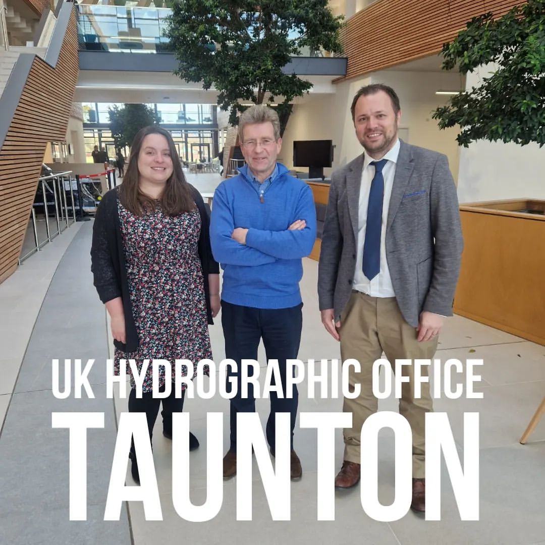
17 Jan 23. UK Hydrographic Office – where cartographers chart the world!
I was superbly hosted by Katie Leedham and Paul Marks, and really enjoyed giving a talk to a few real life cartographers.
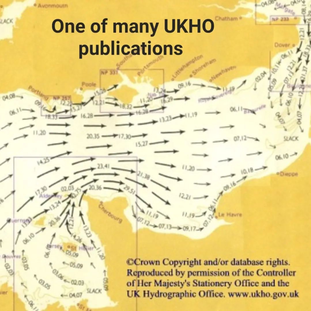
As leisure sailors we enjoy using the incredibly detailed information produced by hydrographers – depths, seabed type, shoreline information, navigation marks, tidal streams, and much more. What we might not realise is how often all this information is checked, updated and communicated to all seafarers through both “Notice to Mariners” but much more significantly, and quickly, via the Electronic Navigational Charts (ENC) used by commercial shipping.
I was lucky enough to be shown some of their work and meet some of their cartographers.
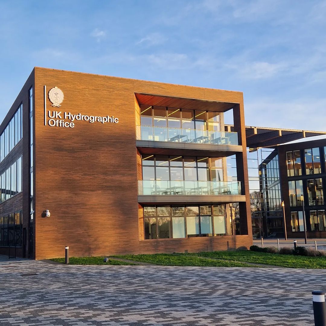
The headline aim of UKHO is: “To ensure safe passage of shipping and the safety of seafarers in UK waters”. This sentence fails to describe what is a world leading centre that supports UK security, international defence and global shipping and in the process unlocks a deep understanding of the world’s oceans.
Over 90% of global trading ships rely on Admiralty data and 71 countries depend on UKHO to chart their waters. It is an incredible organisation and totally self funded!
One tip for Yachties – we can instigate our own “Notice to Mariners” via the H-Note App!
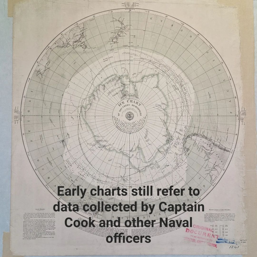
The first Admiralty chart was produced in 1800.
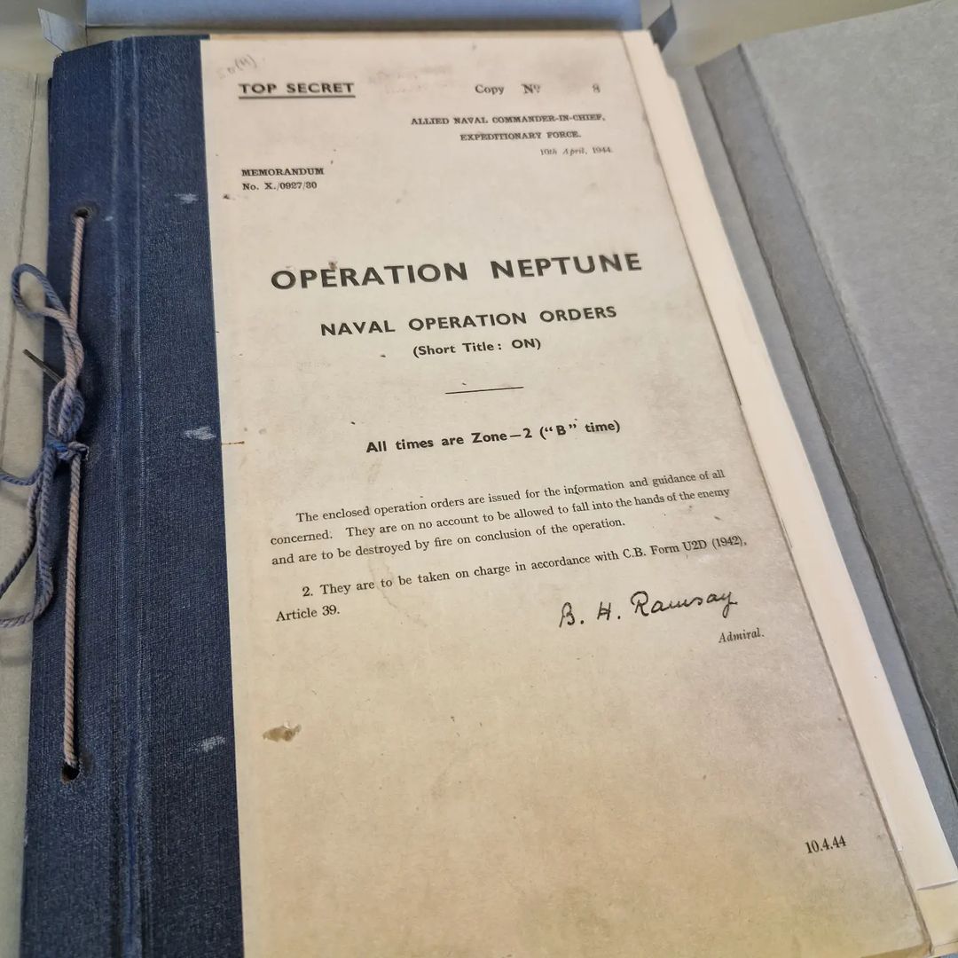
UKHO Archivist John Williams had laid out some particular artifacts to show me including:
– An early Pilot Book of the GB coast based on a 1680s survey.
– The original chart used for D Day
– A chart of the Falkland Islands hastily produced in April 1982
Thank you very much and I look forward to returning to research the early history of Harbour Masters.